
ज़मीन का हर सवाल, एक ही जगह।
What Indori Zameen is, and how to use it
One map of Indore's registered colonies, each with its boundary, its sanctioned layout, its master-plan zone and its papers, and the ten minutes it takes to read one.
On this page
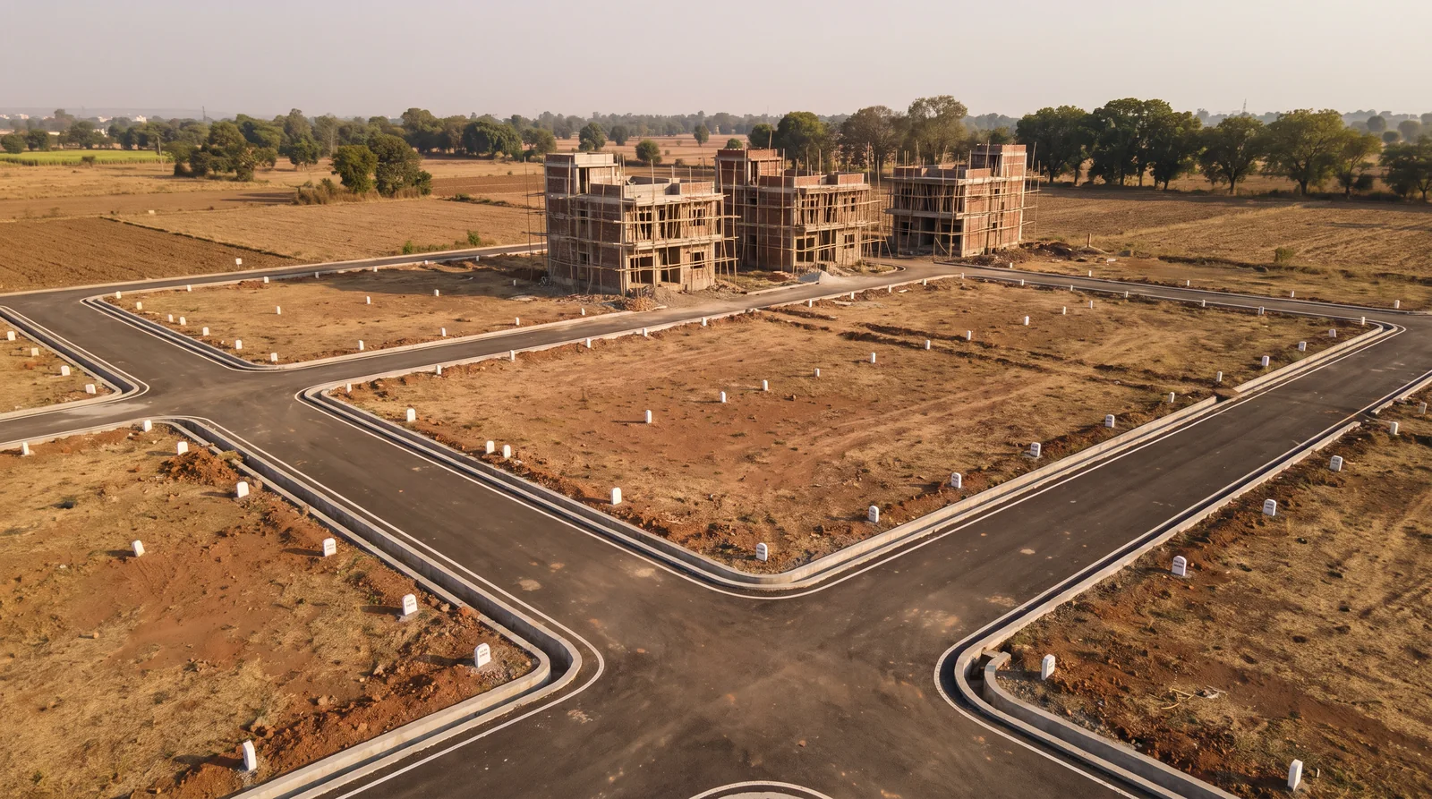
Indori Zameen is a map of Indore's registered colonies and projects. Each one is drawn to the boundary its record describes, with its sanctioned layout laid over satellite imagery, the master-plan zone it sits in, and the documents behind it. You open a colony, read what is already on record about that land, and then decide.
The eight questions, and where they used to live
Anyone who has bought a plot in Indore, or watched a relative do it, knows the questions. Is this colony registered? Which khasra numbers does it stand on? What is the land zoned for, and is a proposed road drawn across it? Where is the sanctioned layout, and how much can be built on a plot? Which plot is which once you are standing in the dust? And who, on paper, is the promoter?
Every one of those has an answer that exists somewhere. The trouble has never been that the answers are secret. It is that they sit in different places: the regulator's portal for the registration, the revenue record for the khasra, the planning authority for the layout and the zone, a folder in a site office for the rest. A family going through them one by one either gives up halfway, or trusts whoever is sitting across the table to have done it for them.
जवाब सब मौजूद हैं — बस दस जगह बिखरे हुए हैं।
Jawaab sab maujood hain — bas das jagah bikhre hue hain.
What is on the map
The platform gathers those answers on one screen, colony by colony. Four layers do most of the work.
The boundary, as recorded
Each colony is drawn as the shape its registry drawing describes, not as a pin dropped somewhere near the entrance. That matters more than it sounds. A pin tells you a colony exists in a general area. A boundary tells you whether the plot you are being shown is inside it.
The sanctioned layout, on the ground
Where a sanctioned layout exists, it is georeferenced, which means the approved drawing is stretched and pinned to its true position over satellite imagery. Plot numbers sit on the plots they belong to, roads sit on roads. You can see which piece of ground a plot number refers to before anyone walks you to it.
The master-plan zone, and the proposed roads
The city has already decided a great deal about every piece of land: whether it is meant for housing, commerce, industry or open space, and where new roads are planned to run. The Master Plan Portal on the platform lays Indore Development Plan 2021 over the same map, alongside thirty-eight other city master plans from thirteen states, so the zone and the proposed roads around a colony are visible before any money moves.
The paperwork, and the promoter
Each colony's record carries the documents on file for it, from verified government sources and verified RERA-registered brokers, and the promoter's name as the record states it. Six statutory rulebooks sit beside the maps for the questions about FAR, setbacks and height.
A public page for every colony
You do not need an account to start. Every colony has a public page at /colony/, which can be found through a search engine, opened on a phone, and forwarded on WhatsApp. It shows the name, the village and tehsil, whether the record carries a registration, whether a layout or sanction plan is on file, and how many documents sit behind it. It is meant to be the page you send to the family before anyone says yes.
How to read a colony in ten minutes
- Find it. Search the colony's name on the map, or open its public page from a search engine. Check that the village and tehsil match what you were told.
- Look at the outline. Is the plot you are being offered inside the drawn boundary? Ask the agent to point to it on the map, not on the brochure.
- Open the layout. If a sanctioned plan is on file, find the plot number on it. Note the road width drawn beside it; that road is what the plan promises, and the site visit is where you measure what was built.
- Check the zone. On the Master Plan Portal, see what the land around the colony is meant for, and whether a proposed road crosses it.
- Read the papers. Note what is on file and what is not. A missing document is a question for the seller, not a verdict.
- Note the promoter. The name on the record is the name that should appear on your agreement.
पहले पढ़िए, फिर जाइए, फिर हाँ कहिए।
Pehle padhiye, phir jaaiye, phir haan kahiye.
What the sign-in adds, and what it does not
Signing in with a Google account opens the map itself: the boundaries, the layout plans and the Master Plan Portal. Detail fields such as the prevailing rate, the khasra list and the full document set are shown to verified members. Nothing on the platform sells you a plot, takes a booking, or stands in for the government record. It is built by architects and planners who read sanction plans for a living, and the entries are cross-checked with real estate agents who work the ground in Indore. Where a record and a portal disagree, the portal wins; use the platform to know what to look for, and the portal to confirm it.
Where to check it yourself
See it for yourself on the map — boundaries, plans and paperwork on one screen.
Open the map and find the colony you are being shown →Questions people ask
Is Indori Zameen a government website?
No. It is a private platform whose records come from verified government sources and verified RERA-registered brokers, placed on one map. Registrations, sanctions and land records are confirmed with the concerned authority.
Do I need to sign in to see a colony?
No for the public page, which shows the colony's identity, registration status and whether a plan is on file. Yes for the map, the layout plans and the master-plan overlay.
What does it mean that a colony is "mapped"?
Its boundary has been drawn from its recorded drawing, and where a sanctioned layout exists, that layout has been placed at its true position. It does not mean the land has been surveyed by the platform.
Can I see the price of a plot on Indori Zameen?
Prevailing rates around a colony, where they are on file, are shown to verified members. The platform does not list individual plots for sale.
How current is the record?
The register is maintained continuously and its counts are published live; the figures in this guide are as of September 2026.
Where the facts come from. The facts and figures in this post come from verified government sources and verified RERA-registered brokers.
Indori Zameen is a private platform. It is not a government body and is not affiliated with one — always confirm a record with the concerned authority before you commit money.
Share this post
Related posts
 Buying guides8 min read
प्लॉट लेने से पहले, ये आठ सवाल ज़रूर पूछिए।
Buying guides8 min read
प्लॉट लेने से पहले, ये आठ सवाल ज़रूर पूछिए।
The eight questions every plot buyer in Indore asks, and where each answer sits
Registration, khasra, zoning, proposed roads, the sanctioned layout, building limits, plot position and promoter: eight questions and where each answer sits.
8 Sep 2025 Maps & plans7 min read
मास्टर प्लान पोर्टल कैसे इस्तेमाल करें।
Maps & plans7 min read
मास्टर प्लान पोर्टल कैसे इस्तेमाल करें।
How to use the Master Plan Portal, in five steps
Find your land on the development plan, read its zone off the colour, spot roads not yet built, find the building rules, and lay your colony on top.
8 Sep 2025 Maps & plans8 min read
ये रजिस्टर कैसे बना
Maps & plans8 min read
ये रजिस्टर कैसे बना
How the Indori Zameen register was built
How the boundaries on the Indori Zameen map were placed and checked, who did the work, and why an unplaceable colony is left unmapped.
8 Sep 2025 Maps & plans8 min read
नक्शा पढ़ना सीखिए।
Maps & plans8 min read
नक्शा पढ़ना सीखिए।
How to read a sanctioned layout plan
Plot numbers, road widths, open space, the reserved series and boundary lengths: how to read each one off a sanctioned layout plan before you pay.
8 Sep 2025Tagged platform, how-to, instagram-series, layout-plan, master-plan. Updated 8 Sep 2026.
Read it. Then check it on the map.
Every colony's boundary, its approved layout, its zoning and its paperwork — on one screen. Signing in is free.