
इंदौर का नक्शा बदल रहा है।
Indore is being redrawn: Master Plan 2035, the metro and the metropolitan region
Three decisions already in motion will change what a plot in Indore is worth and what may be built on it; here is what each one is, and how to see it on your own land.
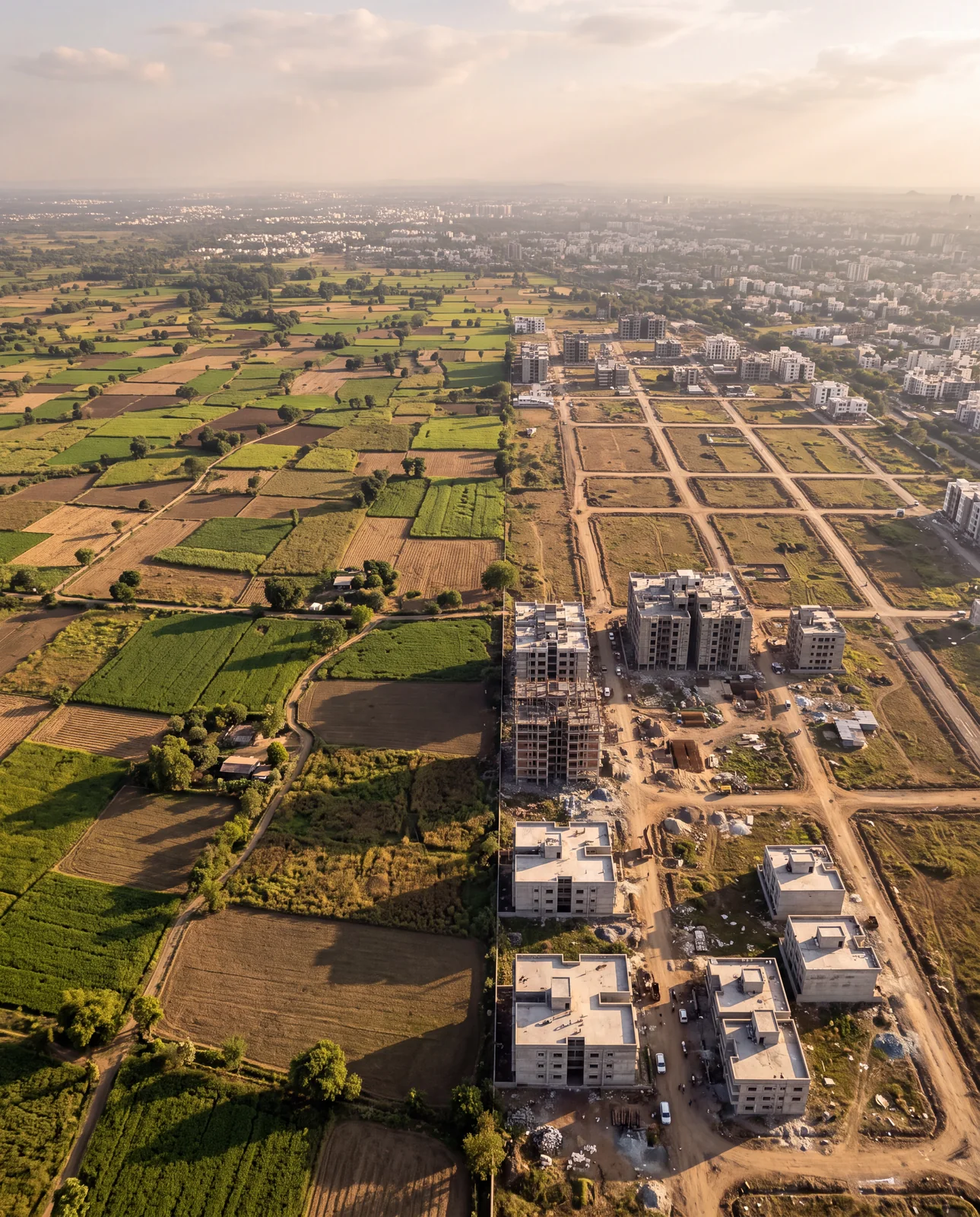
On this page
Three decisions already in motion will shape what a plot in Indore is worth and what may be built on it: a new master plan to succeed the 2021 plan, a metro ring that is partly open, and a state law that plans the city as a region beyond its municipal limit. The plan your plot was sold under may not be the plan it is judged by.
Why a buyer should care about planning news
Most people read a headline about a metro line or a new master plan as city news, something that happens to Indore in general. It is not general. A master plan is a drawing with a zone on every piece of land, and a corridor is a line across specific villages. Each of these three decisions lands on particular parcels, and one of them may be yours. The habit this guide asks for is simple: read the news, then go and look at your own land.
ख़बर पढ़िए। फिर अपनी ज़मीन पर देखिए।
Khabar padhiye. Phir apni zameen par dekhiye.
One: a new master plan is being prepared
Indore's development plan for 2021 has passed its horizon year. As of September 2026, Master Plan 2035 is in preparation to succeed it, drawn for a much larger city than the 2021 plan imagined. When a plan is redrawn, three things happen to land. Zones get moved, so a parcel that sat in one use category can find itself in another. Roads get proposed, and a proposed road is a line on the drawing that may pass through ground that looks empty and clear today. And the building rules that follow from a zone move with it.
What does not change is the rule of reading: the plan that governs your land is the one currently in force, not the one being drafted and not the one a brochure describes. Until a new plan is notified, the plan in force decides.
जो ज़ोन आज है, वो कल नहीं भी हो सकता।
Jo zone aaj hai, woh kal nahin bhi ho sakta.
Two: the metro is already running
The Yellow Line is planned as a ring corridor of 33.53 kilometres around the city. Six kilometres of it have been open and carrying passengers since May 2025, and a further 16.21 kilometres of the priority section are under construction.
A corridor changes land before it changes anyone's commute. Prices around a proposed alignment move on the announcement, years before a train arrives, and the villages it passes through are pulled towards the city on the strength of a line on a map. That is exactly why the alignment is worth checking against a plot rather than reading about in the abstract.

Three: the city is being planned as a region
In 2025 the Madhya Pradesh cabinet approved a law to develop five cities — Indore, Bhopal, Ujjain, Jabalpur and Gwalior — as metropolitan areas. The point of a metropolitan authority is that its planning reaches past the municipal boundary, into the gram panchayat villages around the city. Those are precisely the villages where plots are being sold today, often on the argument that they are "about to come inside the city".
Regional planning is the mechanism by which a village on the edge becomes part of the city. It is also the mechanism by which land that was being marketed as free of city rules comes under a plan. Both of those matter to a buyer, and they cut in different directions.
What the three add up to
Read together, the three decisions have one consequence: the plan a plot was sold under may not be the plan it is judged by. Concretely:
| The change | What it can do to a plot |
|---|---|
| A redrawn zone | Change what you are allowed to build, or whether you may build at all |
| A proposed road | Cross land that looks clear on the ground and on the brochure |
| A corridor | Lift the value of an entire village, or strand one the alignment passed by |
None of these is a reason not to buy. Each is a reason to look at the drawing before agreeing a price.
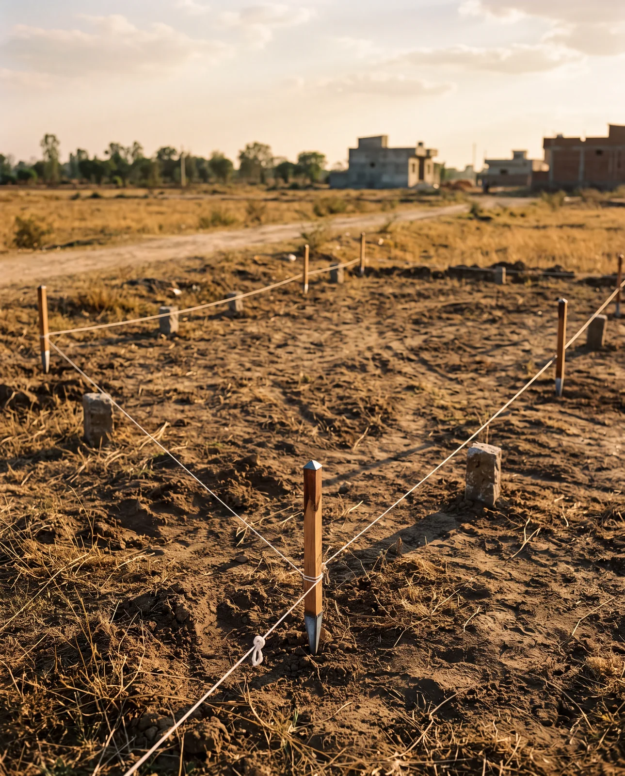
Put your land on the plan and look
The Master Plan Portal carries the plan in force for Indore and, as of September 2026, 39 city master plans across 13 states in all: the zones, the proposed roads, and the building rules that follow from them. Search the location, find the parcel, and read the zone under it. Then do the same for the road network layer, because a proposed road is the thing a site visit can never show you.
See it for yourself on the map — boundaries, plans and paperwork on one screen.
Find your plot's zone and any proposed road across it →Questions people ask
Is Indore Master Plan 2035 approved?
As of September 2026 it is in preparation, to succeed Master Plan 2021, which has passed its horizon year. The plan in force is the one that governs your land until a new one is notified.
How long is the Indore metro Yellow Line?
It is planned as a 33.53 km ring corridor. Six kilometres have been open since May 2025, and 16.21 km more of the priority section are under construction.
What is the MP Metropolitan Area Planning and Development Act 2025?
A law approved by the Madhya Pradesh cabinet to develop Indore, Bhopal, Ujjain, Jabalpur and Gwalior as metropolitan areas, with planning that reaches beyond the municipal boundary into the surrounding villages.
Can a master plan change what I am allowed to build on my plot?
Yes. The zone a parcel sits in sets the permitted use and the building rules that follow. When a plan is redrawn, zones can move and roads can be proposed across land that is clear today.
How do I check the master plan zone of a plot in Indore?
Open the Master Plan Portal, search the location and read the zone and road layers under the parcel. Ask the seller to show you the same.
Where the facts come from. The facts and figures in this post come from verified government sources and verified RERA-registered brokers.
Indori Zameen is a private platform. It is not a government body and is not affiliated with one — always confirm a record with the concerned authority before you commit money.
Share this post
Related posts
 Maps & plans7 min read
मास्टर प्लान पोर्टल कैसे इस्तेमाल करें।
Maps & plans7 min read
मास्टर प्लान पोर्टल कैसे इस्तेमाल करें।
How to use the Master Plan Portal, in five steps
Find your land on the development plan, read its zone off the colour, spot roads not yet built, find the building rules, and lay your colony on top.
8 Sep 2025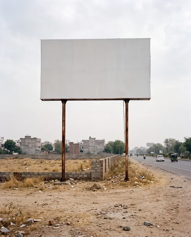 Indore7 min read
ब्रोशर नहीं, शहर पढ़िए।
Indore7 min read
ब्रोशर नहीं, शहर पढ़िए।
Read the city, not the brochure: judging a location yourself
Zone, roads, distance, neighbours, register: five reads that tell you what a location in Indore already is, without a single phone call.
8 Sep 2025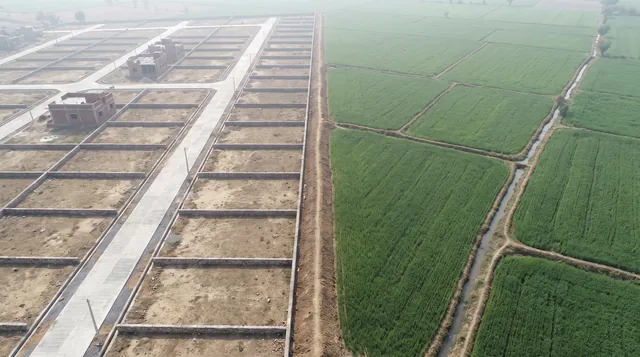 Indore8 min read
नगर निगम के अंदर या बाहर?
Indore8 min read
नगर निगम के अंदर या बाहर?
Inside or outside municipal limits: gram panchayat or IMC
Inside IMC or in a gram panchayat: who sanctions the colony, who lets you build, who owns the pipe and who sends the bill, and how to find out before you pay.
8 Sep 2025 Maps & plans7 min read
वादा अलग चीज़ है। नक्शा अलग।
Maps & plans7 min read
वादा अलग चीज़ है। नक्शा अलग।
Promised vs sanctioned: the brochure and the layout plan
Why a brochure binds nobody and a sanctioned layout does, what reserved land looks like on the sheet, and the one question to ask when the amenity is not on it.
8 Sep 2025Tagged master-plan-2035, master-plan, instagram-series, t-and-cp, gram-panchayat.
Read it. Then check it on the map.
Every colony's boundary, its approved layout, its zoning and its paperwork — on one screen. Signing in is free.